Highest Point on the Continental Divide
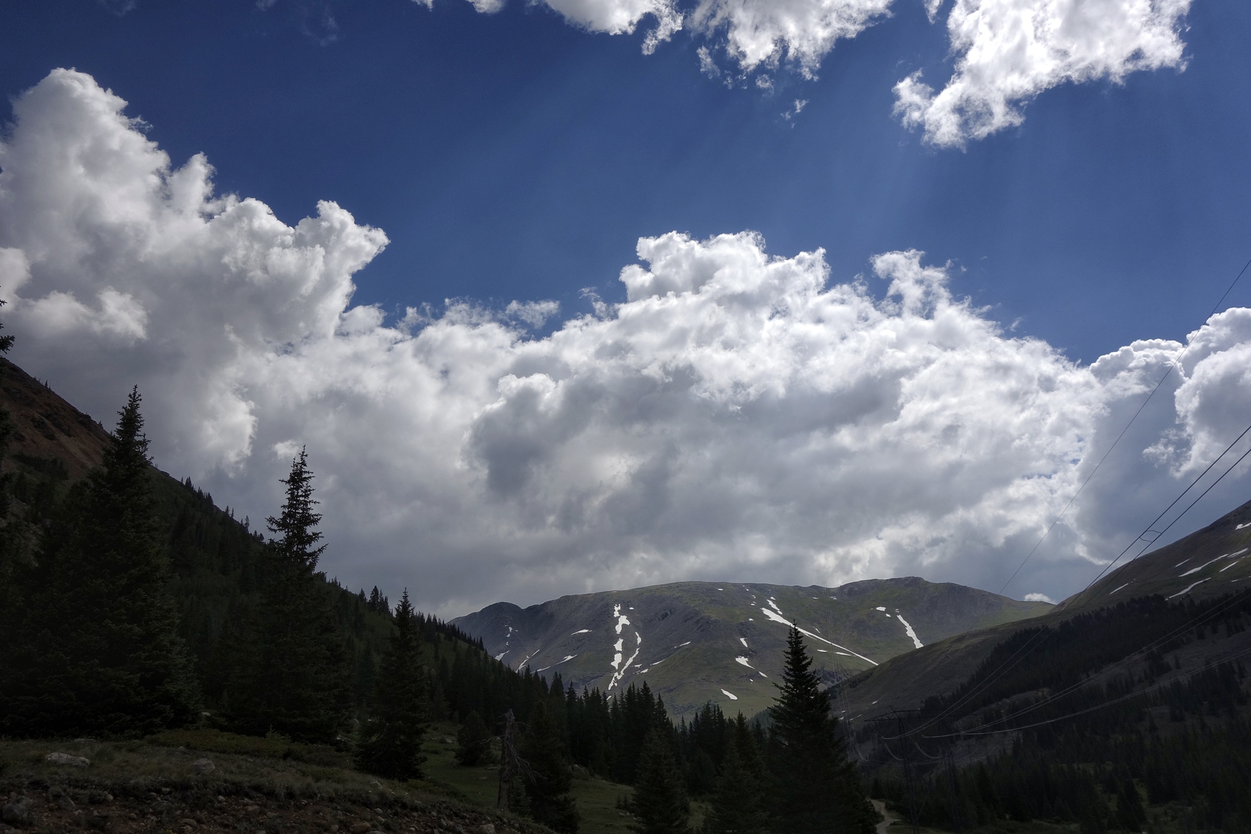
Grays-Torreys is an alternate route that hits the highest point on the continental divide (Grays Peak at 14,270 feet). My days leaving Breckenridge are cut short with some afternoon storms. Since much of the route is above treeline, I bail to lower routes when the clouds build up on the divide.

More avalanche run outs. This one took out some high voltage transmission towers.

I get to the start of the Grays climb at 11 am on Saturday (7/8), but the storms building above force me to make camp and go for it early the next morning.
I hear thunder up top for 2 hours while I’m cozy in my shelter. The next morning as I climb up to the peak, there’s so much left over hail on the ground from the storm that it looks like snow. Really happy I wasn’t up here the day before.
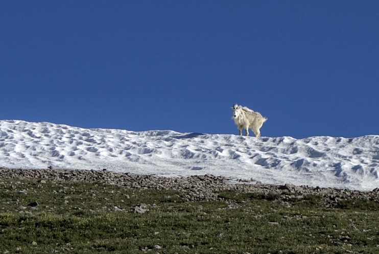
There’s a guy that lives up here around 13k feet that knows more than I’ll ever know about the high alpine.
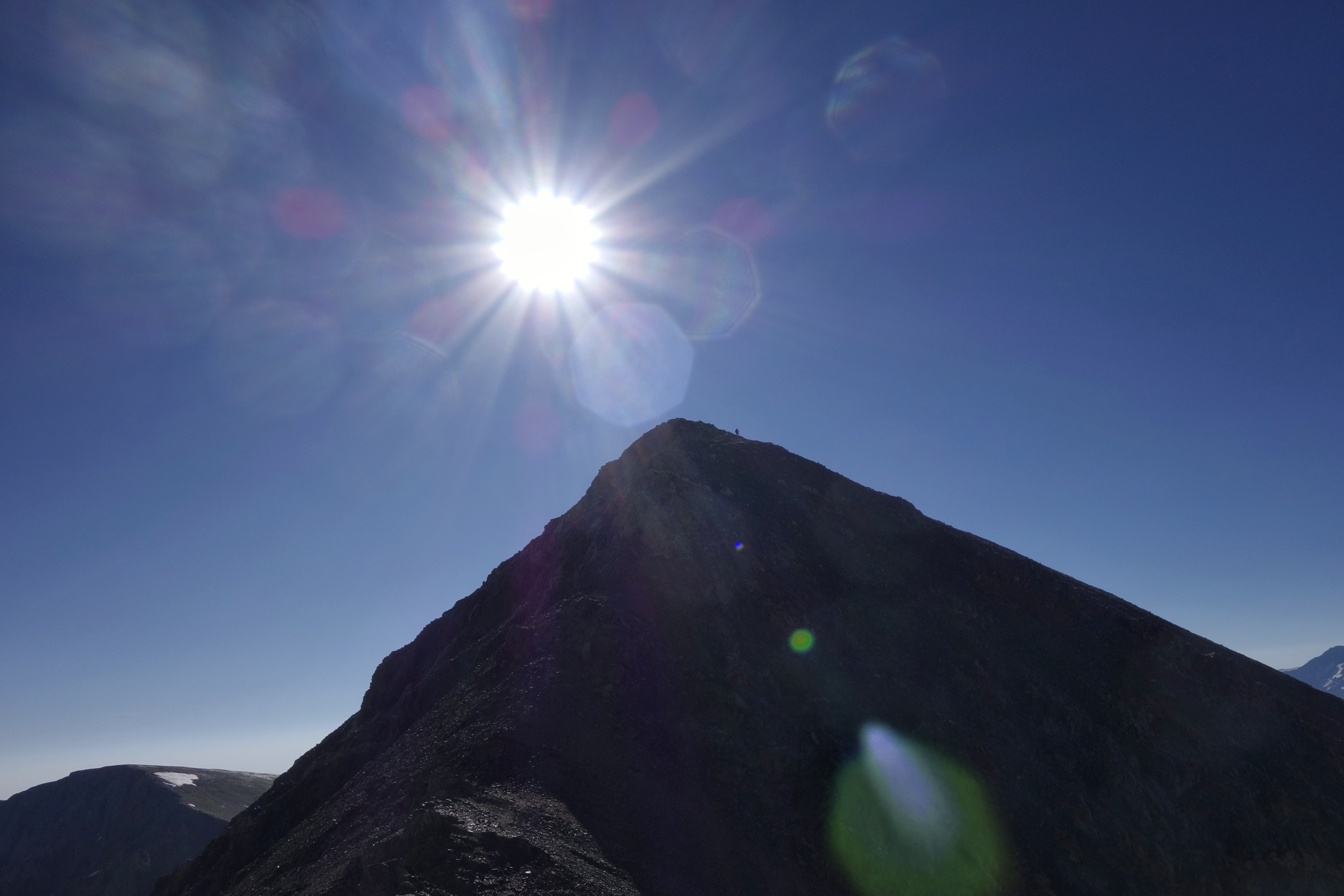
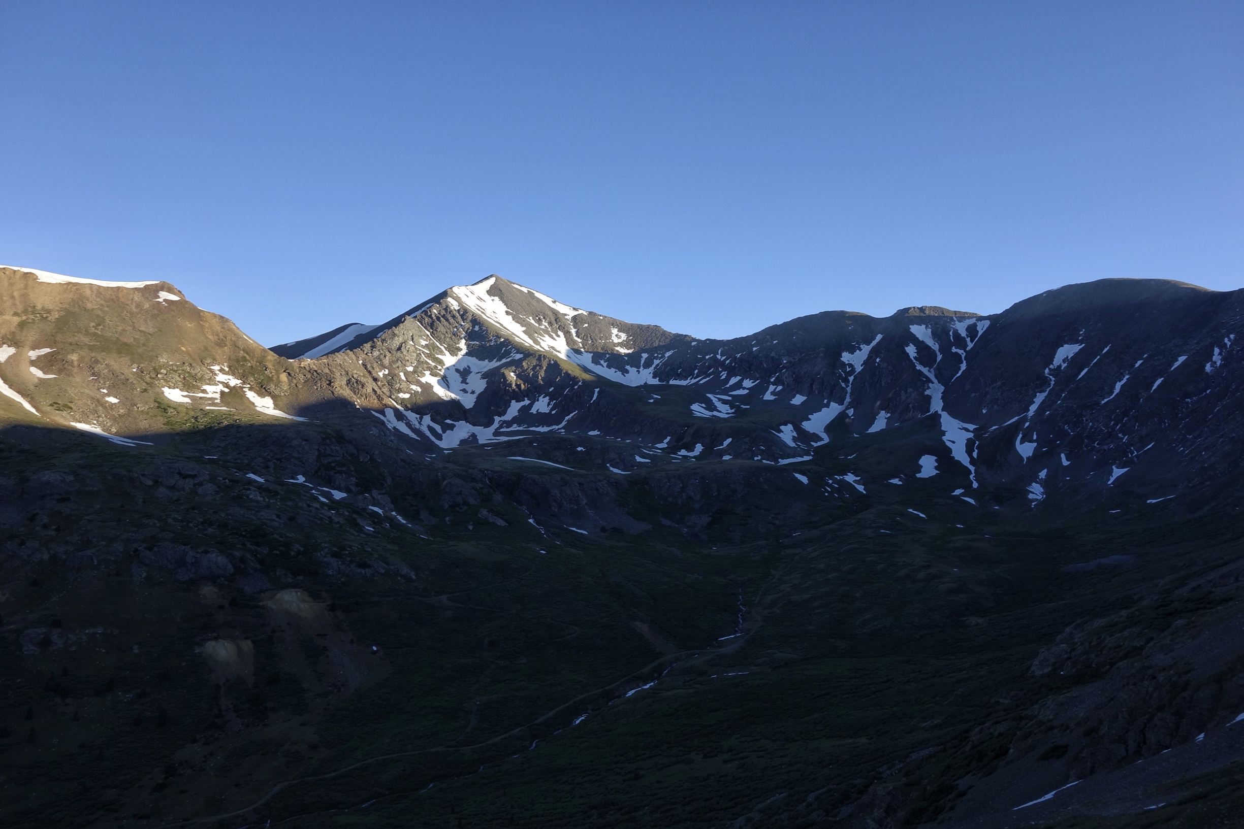
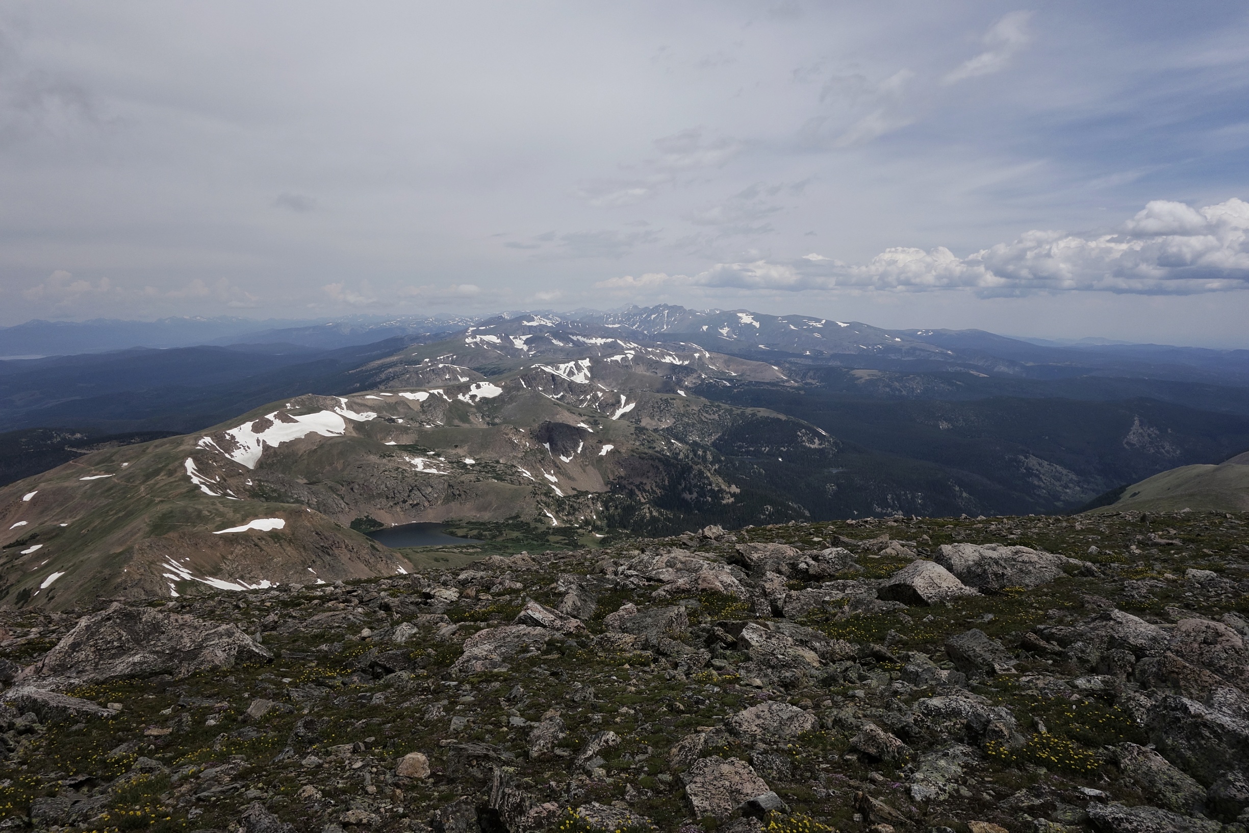
Ridge heading to Grays.
It’s a Sunday so the peak is crowded with people taking the main route up. Torreys is another 14er right next door, so we hit that too.
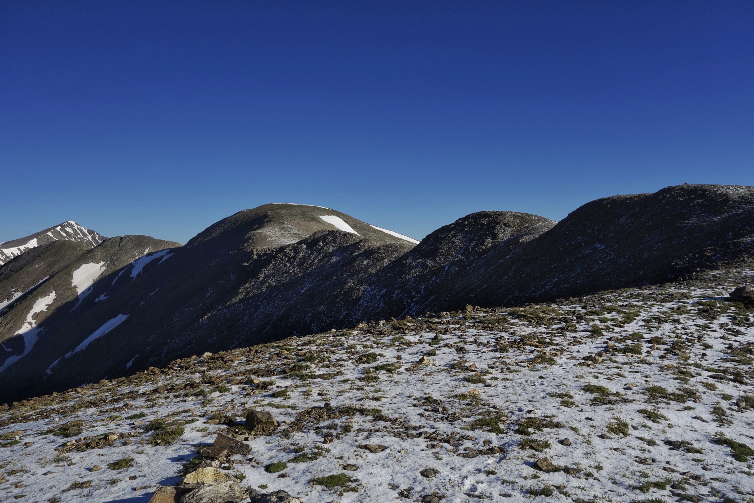
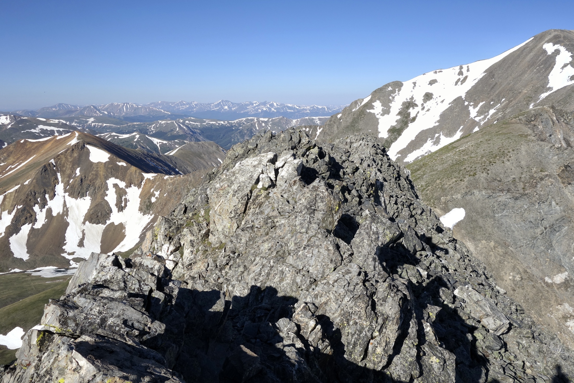
On the top of Torreys looking back at Grays.
The headwaters, no filtration necessary.

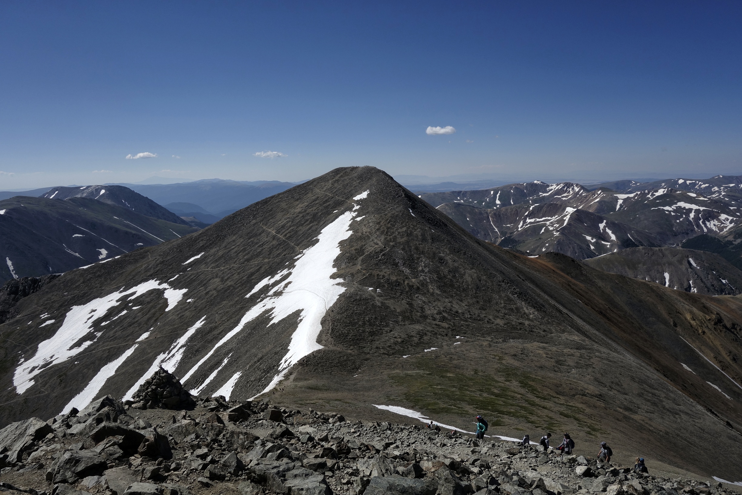
Looking back at my last 14ers of the trail.

My shorter days mean my food supply won’t last all the way to Grand Lake so I bail at Berthoud pass down to Fraser. In and out, I get back to the trailhead to pouring rain. I’m not heading up to Mt. Flora in this weather this late so I make shelter in the warming hut at the pass with a few other hikers.
After a night of poor sleep (traffic noise at the pass) I hit the trail and push hard in order to get over Mt. Flora (13,132), James Peak (13,301), and off the 12 miles of ridge line before the next afternoon storm comes in.
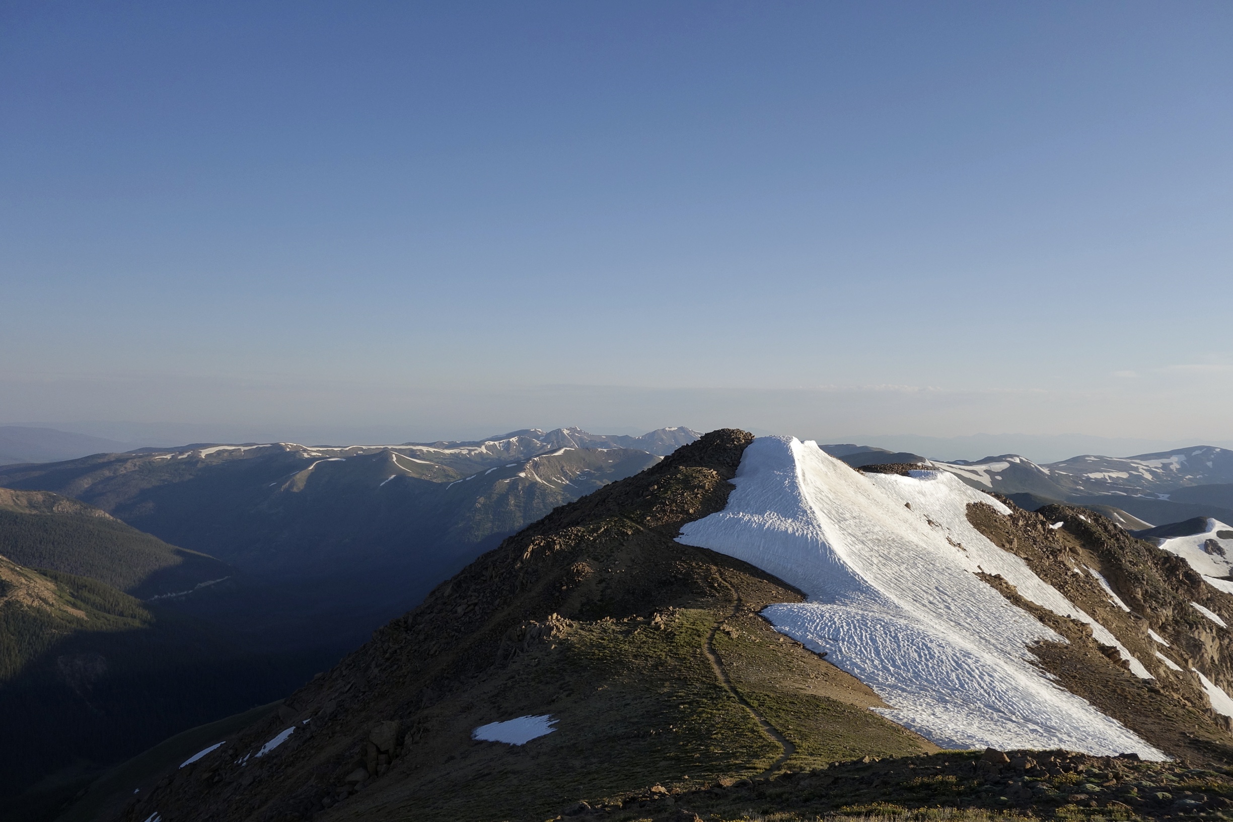
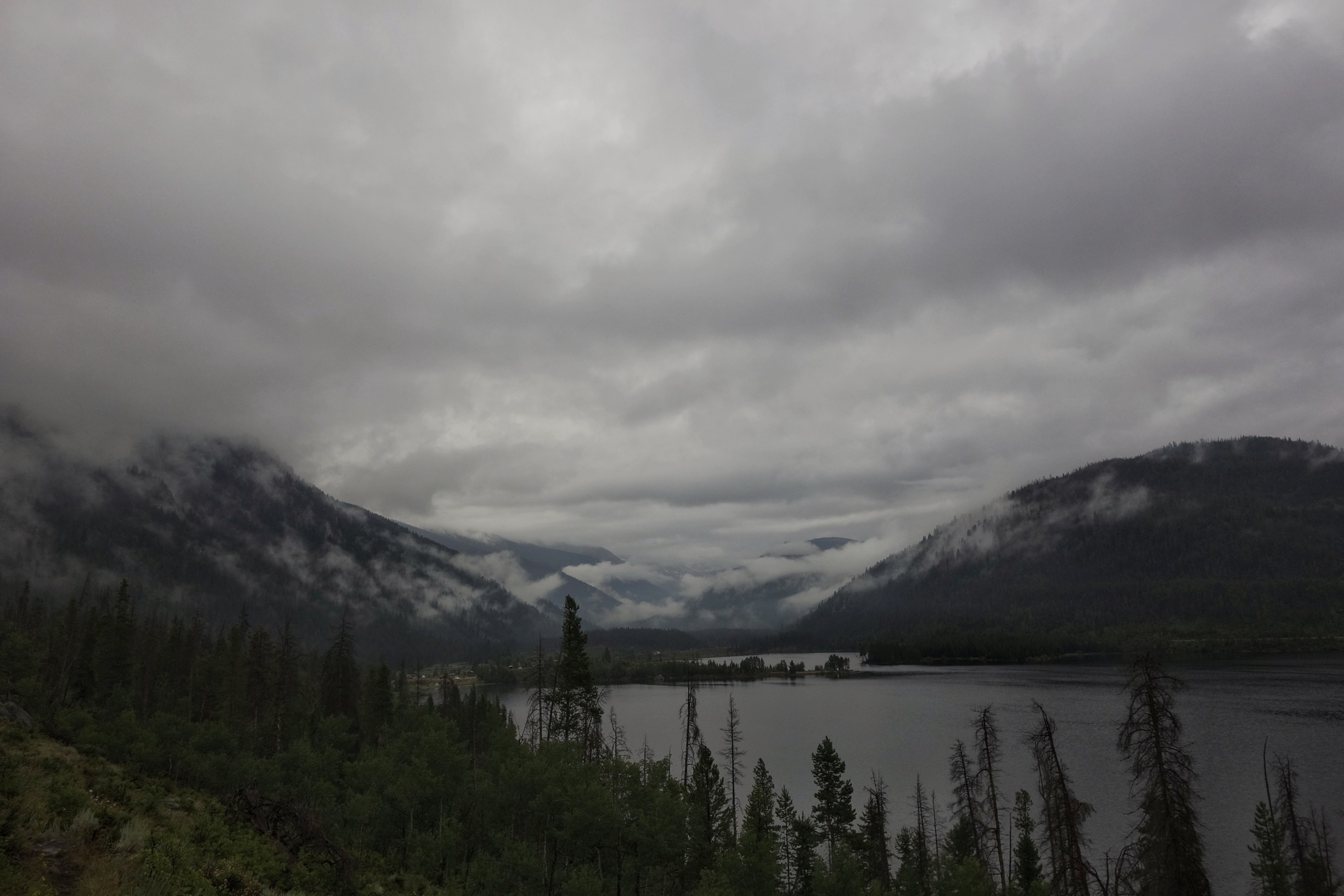
Looking off James peak to the divide I’ll traverse.
With a decent weather window on Tuesday I make 36 miles which puts me in easy striking distance of Grand Lake.

After so many days above tree line with constant exposure and 4-5000 feet of climbing, the trail has immediately transformed into mellow, flat, quiet, forest walking. I am surprised at how much I appreciate this change in scenery. It is quite nice down here.

The next day it rains all morning, but it’s pleasant. I see a bull moose jumping around in a pond and a deer that doesn’t know what’s going on (do they ever?).

I’m on day 65 of this thing! Also, I got new shoes today. I really pushed the boundary on this last pair. They would occasionally turn into flip flops in the last 50 miles or so. I got them in Grants, New Mexico, took them through all of the snow in the San Juans (using micro spikes and snow shoes), boot skiing, scree skiing, frozen solid countless times, talus, scrambling, and they made it 828 miles. The tread is still intact (as in it hasn’t disintegrated into the insole), I shudder to think what these would look like if they were Montrails (never again!).
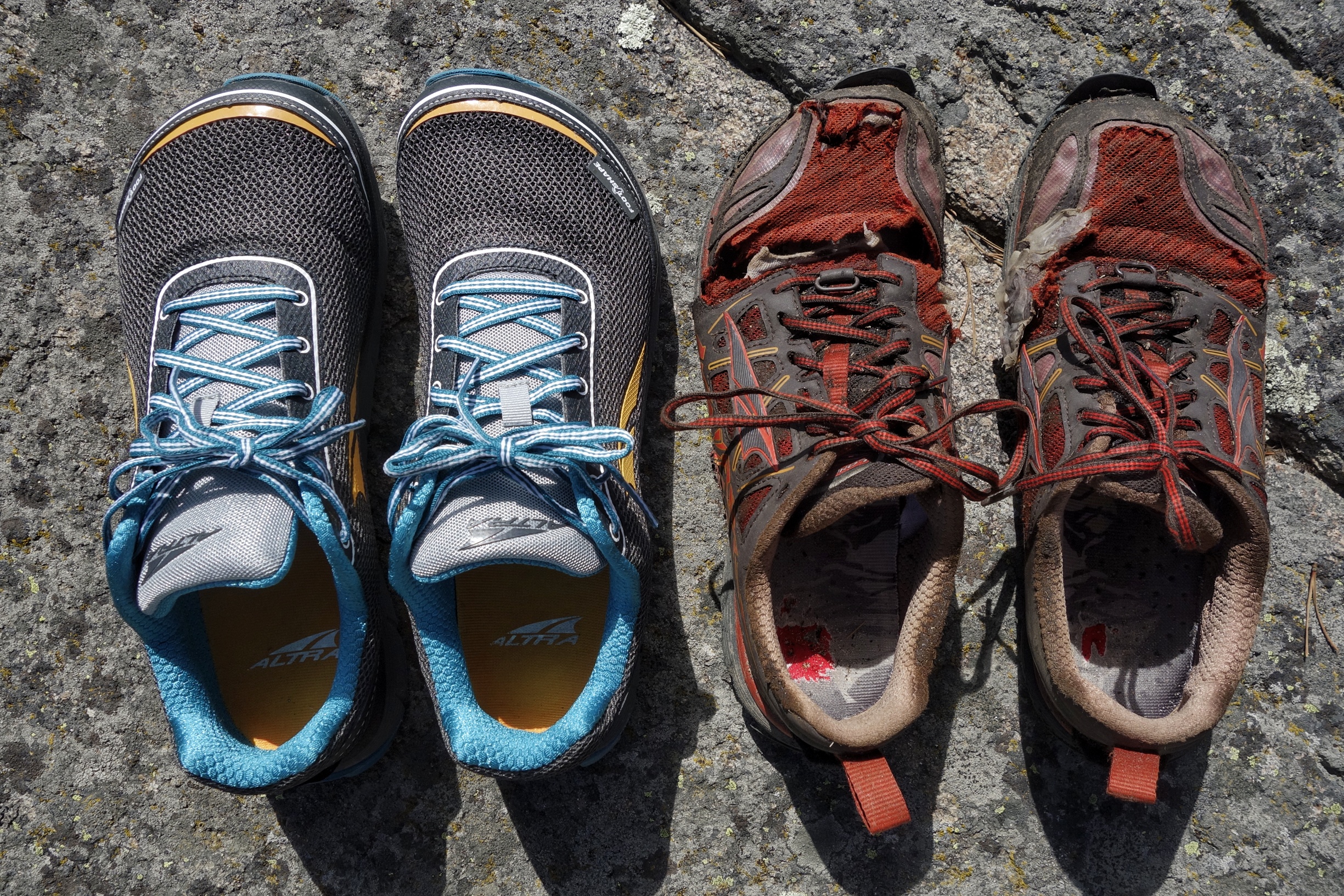
And when I got them in Grants:
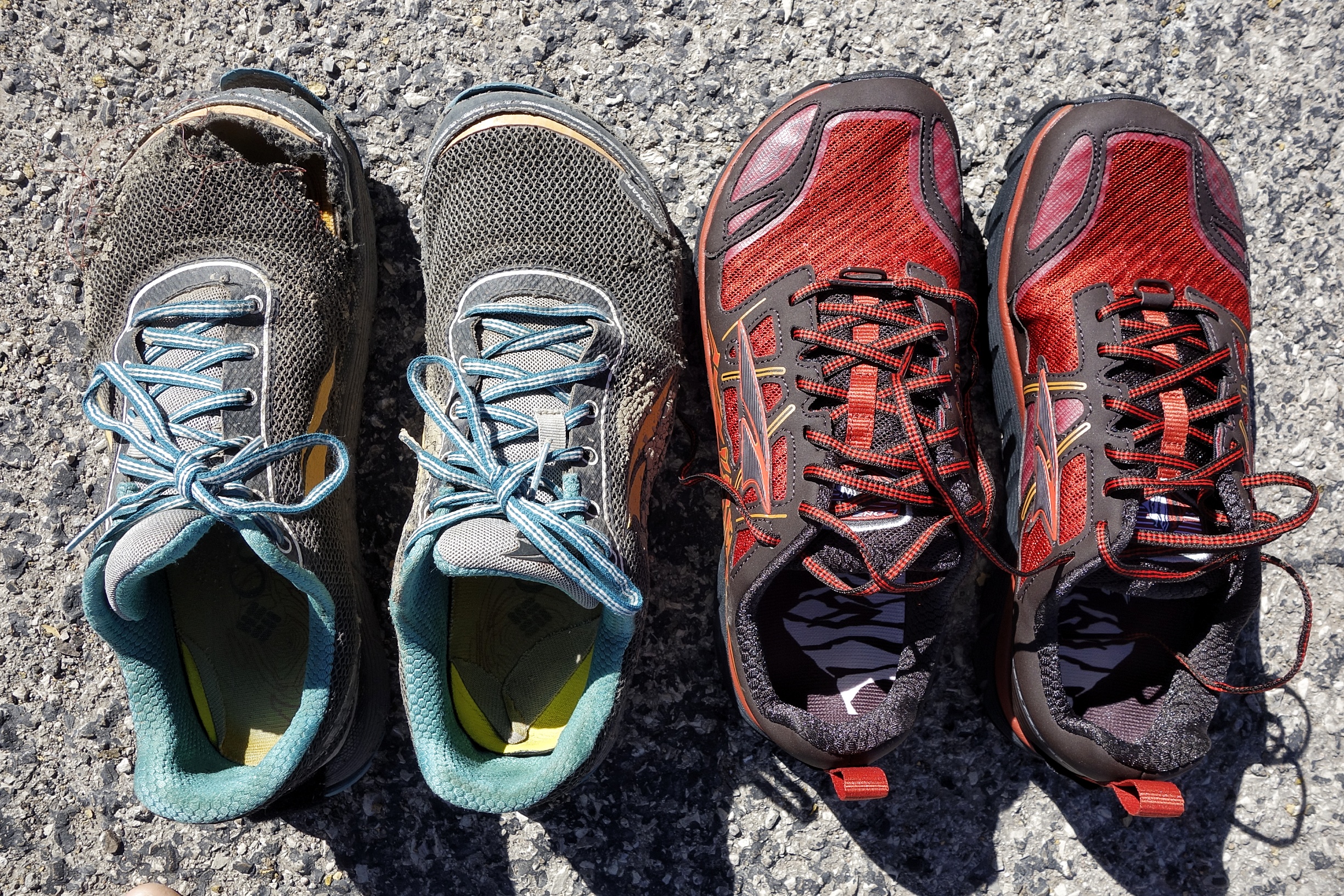
I’m sorry buddies, what an inglorious ending, you deserve better.

My awesome and supportive parents sent me zucchini bread and beef jerky. Already ate too much zucchini bread. Thanks Mom and Dad!!
Anyone know the species? This one can take 5-7 years to flower.

I’m staying in a hostel for the night, trying to catch up on some sleep. This place, the Shadowcliff is really cool. I talk to a guy about Unimog and Pinzgauer conversions for a bit. I’m relaxing, but then the hostel guitar guy (there’s always one…) makes an appearance, so time to get outta here.
I’m thinking you put together an hour long standup special about your trail musings in October. We can host it on the back porch at Bonita. I already know everything, but I’d go see it.